
Navigate with intention, not algorithms.
Stonepilot helps intermediate and advanced hikers plan multi-day backcountry routes with offline maps that actually work, weather-aware waypoints, and clear choices at every junction.
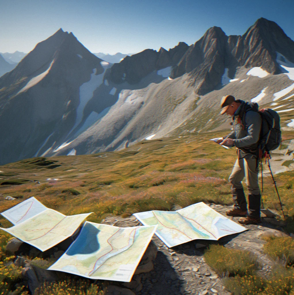
You've hiked alone in the mountains. You know the difference between a marked trail and a line on someone else's phone. Stonepilot treats navigation like orienteering — your judgment matters more than the app. Set waypoints at decision points, download offline maps that work without signal, and reduce the mental fatigue that compounds over three days in the alpine. This isn't about being guided. It's about being ready.
How Stonepilot works
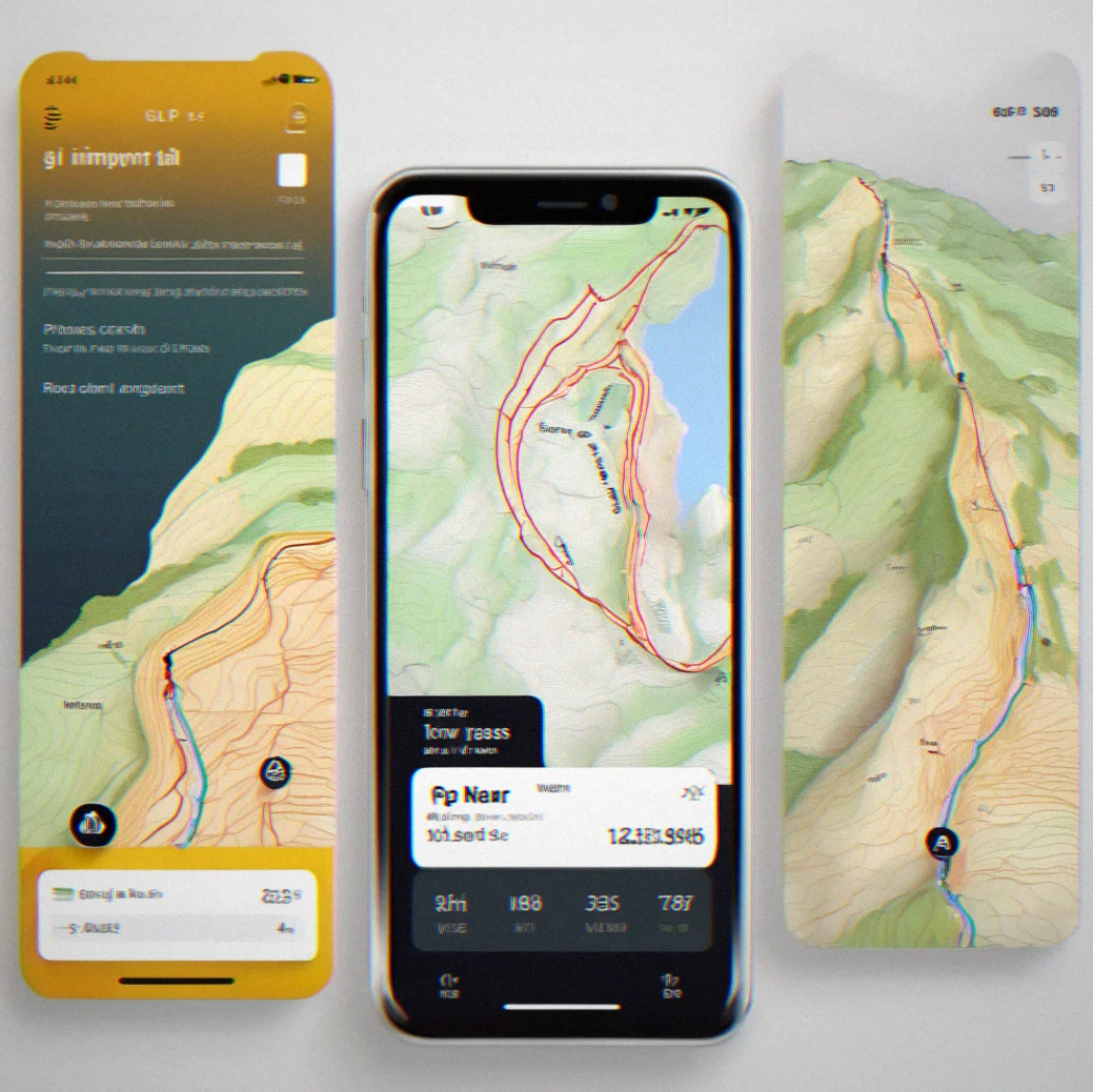
Import your track
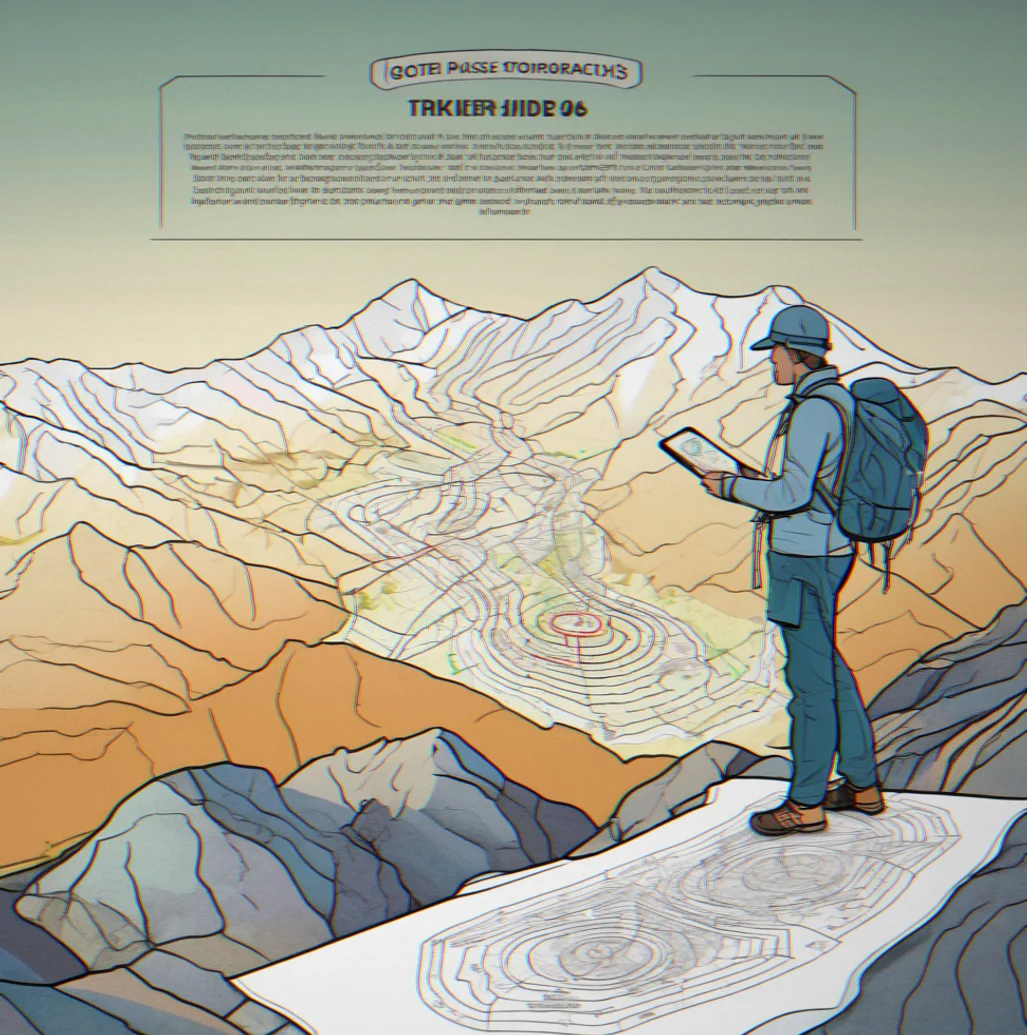
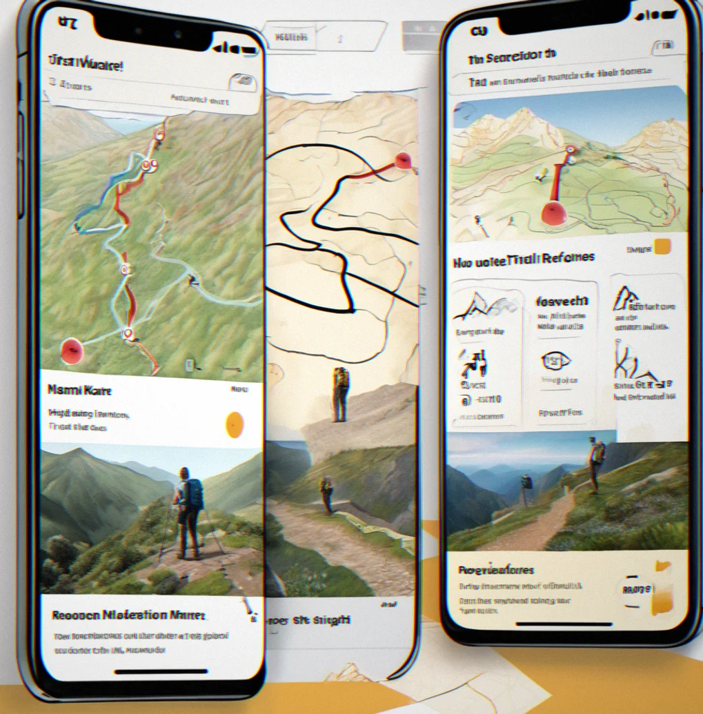
Drop a GPX file or sketch your route straight into Stonepilot. It snaps to the terrain and highlights steep sections, exposed ridges, water crossings. You get to see the whole thing on a topo map before you touch your pack.
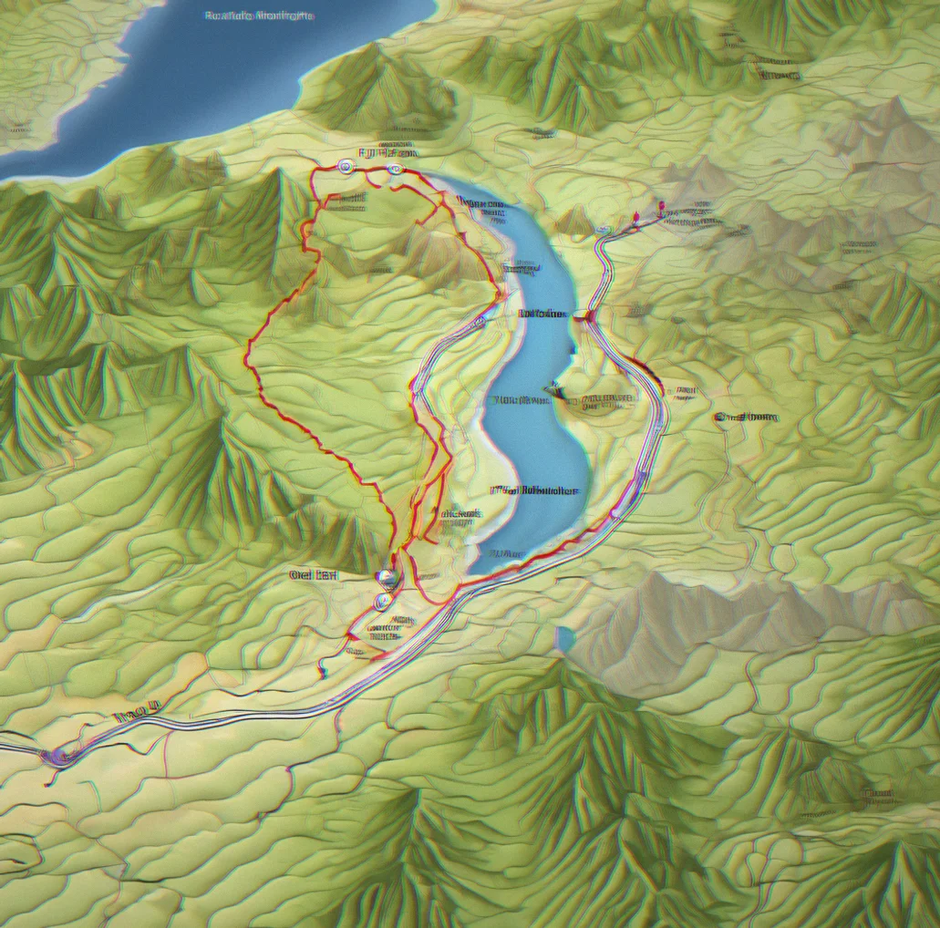
Set decision waypoints
Place markers at junctions, passes, water sources, bailout routes. These aren't just randlm pins. They're the spots where you'll actually stop and think. Elevation, aspect, your own notes about what to watch for — it's all there.
Add context notes
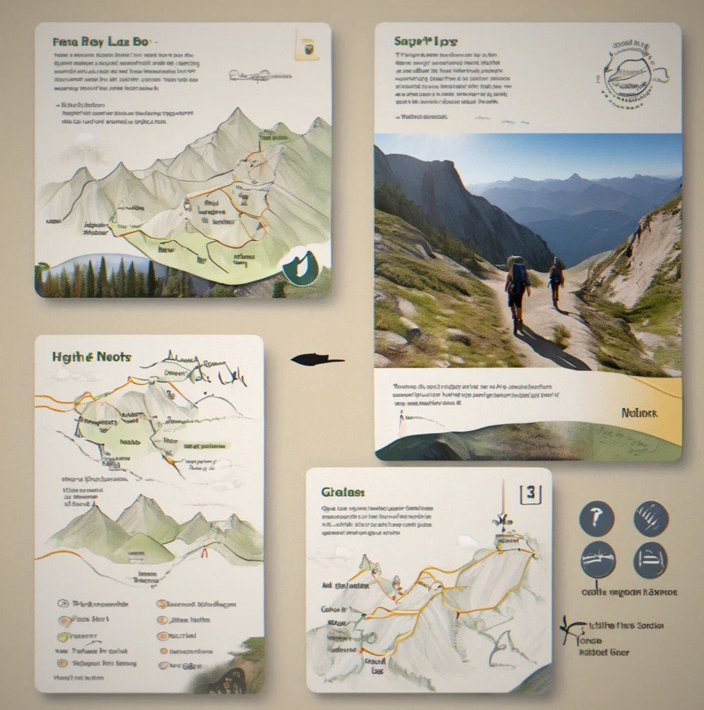
Water's reliable until August. That north face gets exposed, so check wind before early afternoon. If lightning rolls in, you can bail down the ravine. Write what you'd tell yourself standing there three months from now.
Download offline maps
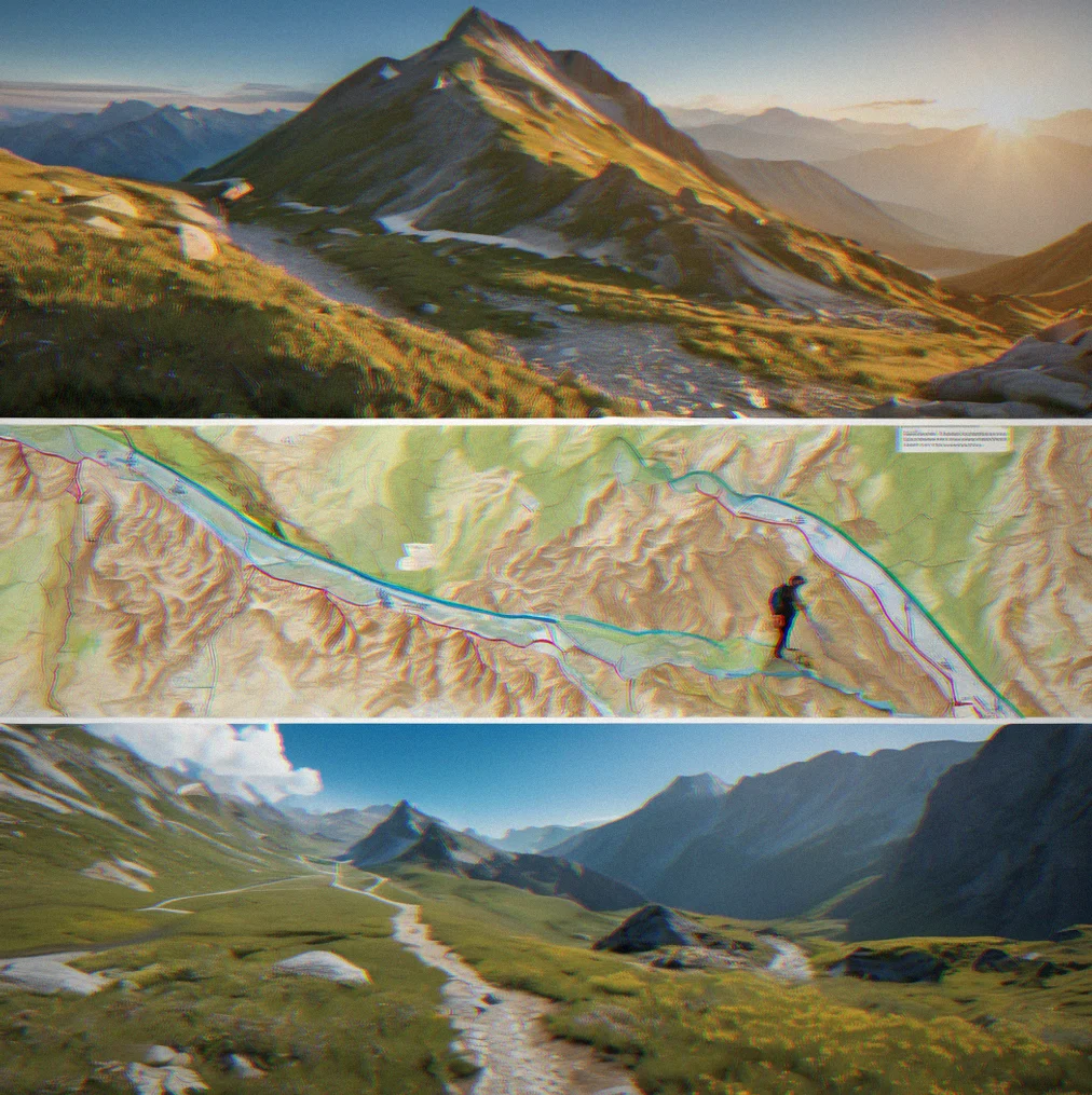
USGS topographic layers. Satellite imagery. Your route. Everything goes on your phone or tablet before you hit the alpine and lose signal fast. Zoom to 1:24k and it stays sharp. Pull back to a wider view and there's no lag.
Link weather stations
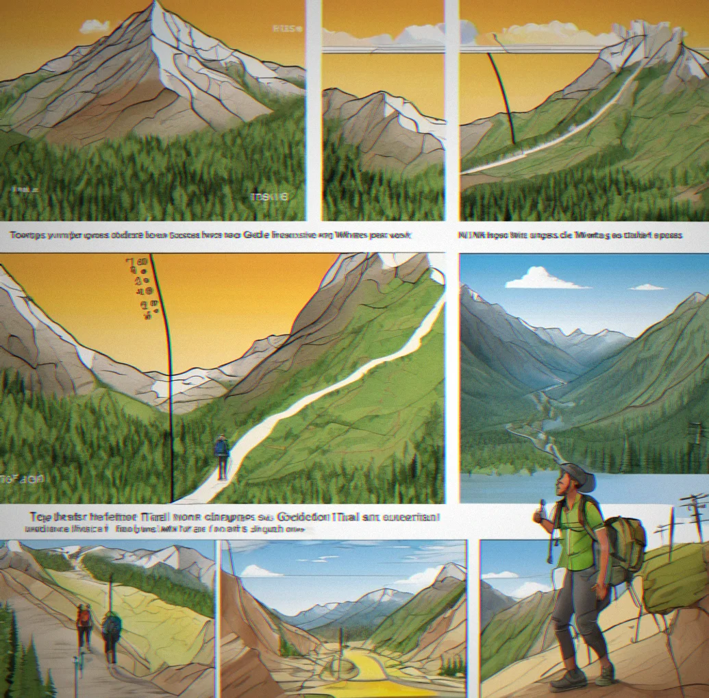
Connect waypoints to nearby NOAA data or elevation-corrected networks. Not push notifications. Real forecast data you pull up at the trailhead to adjust timing and route choices before moving.
Study elevation profiles
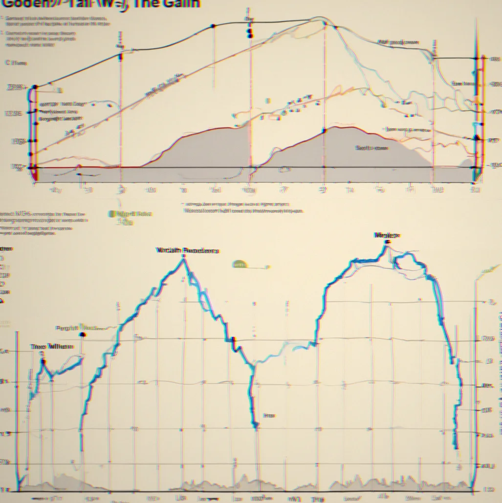
See your planned gain and loss. How steep the descents are. Pacing over distance. You can download these to study at home and figure out if day two is actually doable or if you need to shift waypoints around to spread things out.
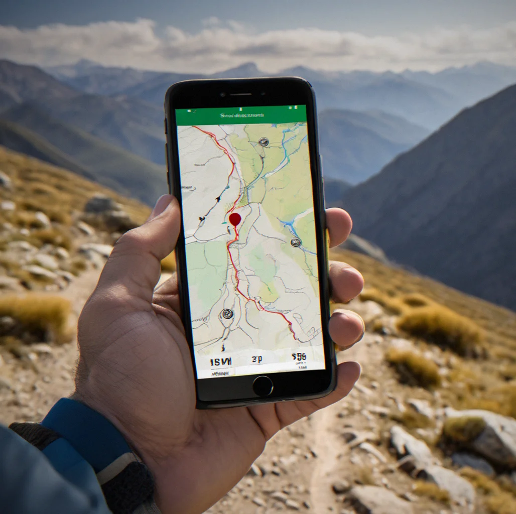
Navigate to waypoints
Each waypoint shows you what's coming — terrain type, aspect, gradient. You look at the ground ahead. Check your notes. Decide if things match the plan or if something's changed. That's how you navigate.
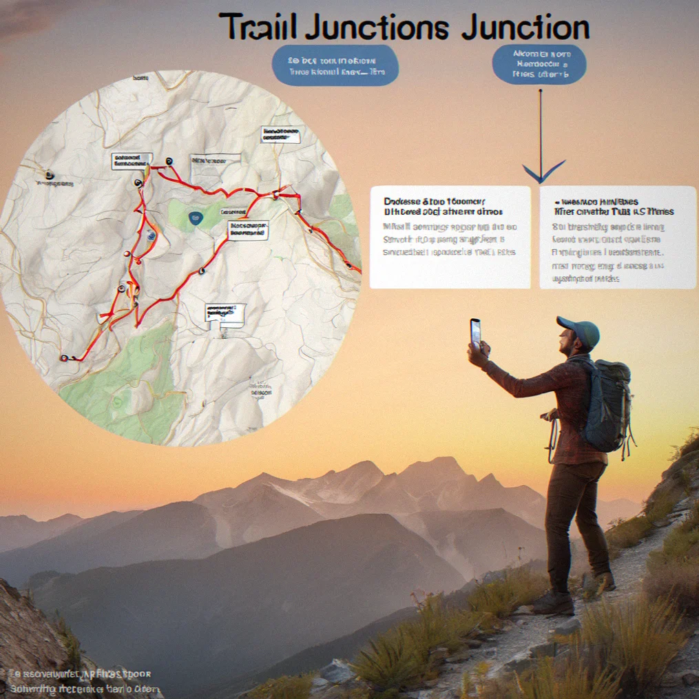
Reduce decision fatigue
Mental fog sets in hard by day three. But you already figured out each junction before you started. You're not improvising at the trail — you're following a plan you made at home when your head was clear. That keeps you alive.
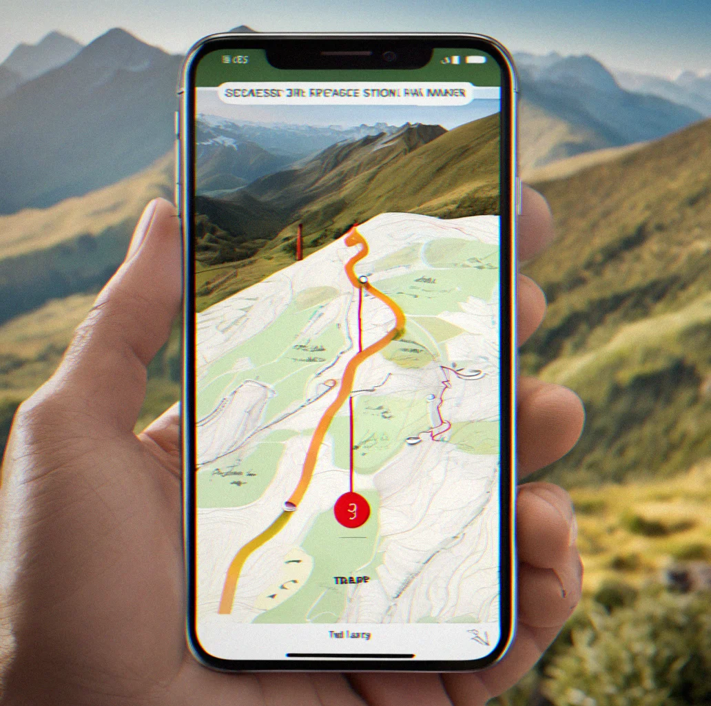
Adjust in real time
Things shift. Weather moves faster than the forecast said. A creek's impassable. You can edit waypoints on the go with Stonepilot. You're not locked into anything. It's a flexible framework you already know.
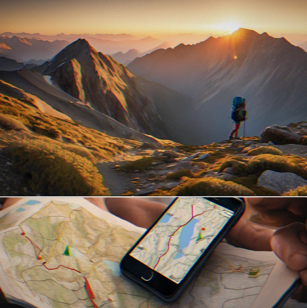
Works offline. Always.
Once maps are downloaded, you don't need a signal. Waypoints, notes, elevation data — all stored Locally. Signal comes back later? Doesn't matter. Stonepilot doesn't need it.
Built for backcountry navigation
Five things that actually set Stonepilot apart from trail apps and online route builders.
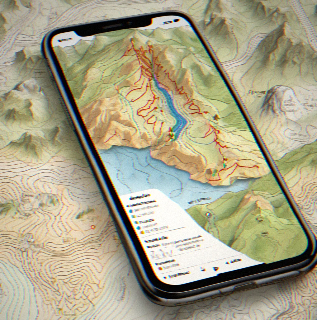
Offline maps that actually work
You're 3,000 feet above treeline with zero signal. Stonepilot lets you download USGS topographic maps before you head out — detailed 1:24k coverage plus wider 1:250k context. No connection needed. Maps load fast even when you're zoomed way in, which is exactly what you need when you're standing at a fork trying to figure out which ridge you're looking at.
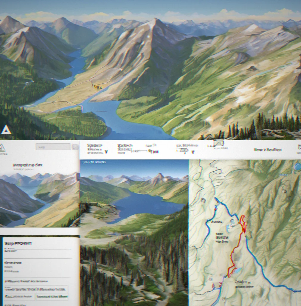
Waypoints built for decision-making
Five miles into day two you hit a junction. But you've already thought this through — you dropped a waypoint here weeks ago while planning at home. Stonepilot pulls up your notes: aspect, elevation, water location, whether you can follow trail or need to navigate. You're not figuring anything out. You're just confirming what you already decided.
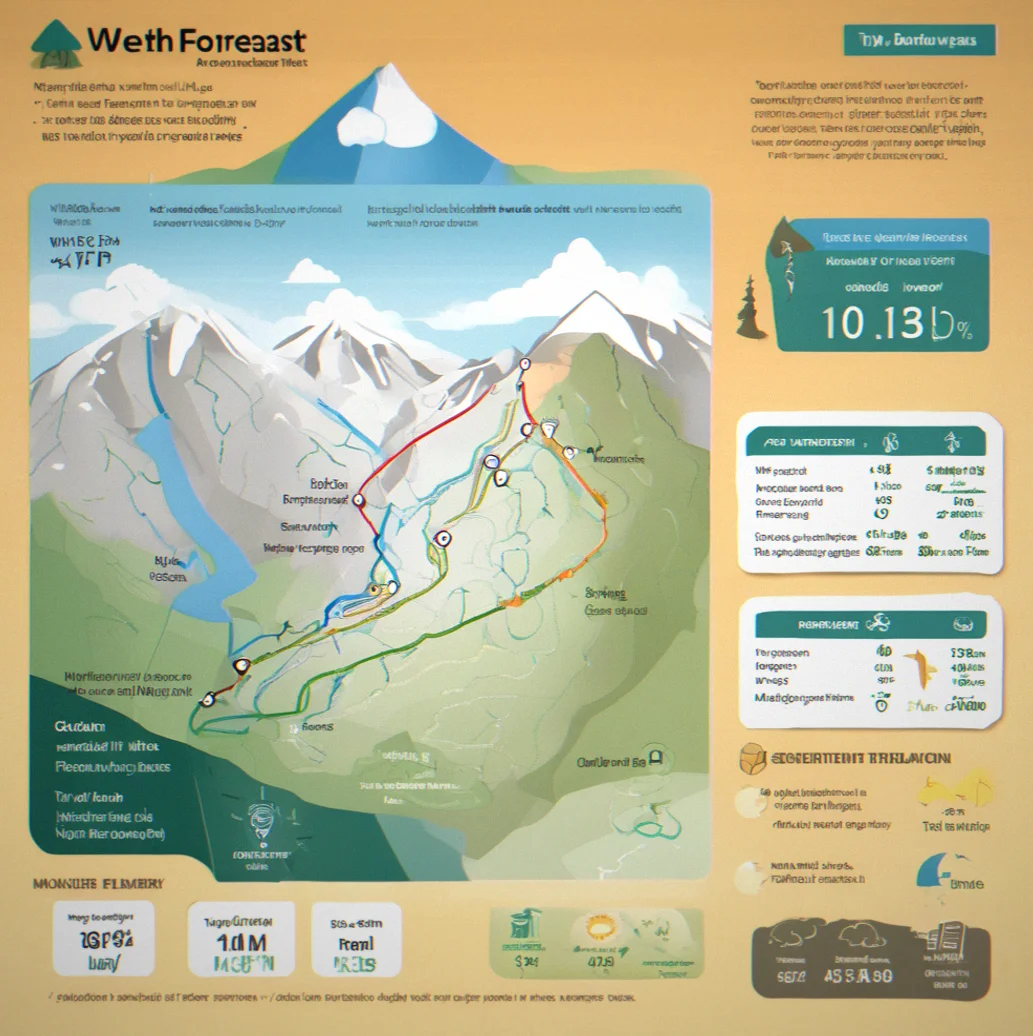
Weather data tied to terrain
Every thousand feet up costs you roughly 3 degrees. Wind funnels through passes in weird ways. Stonepilot connects your waypoints to local weather stations and adjusts forecasts for altitude — so when the forecast says 48 degrees for town, you know what that actually means at 12,000 feet when you're planning day three.
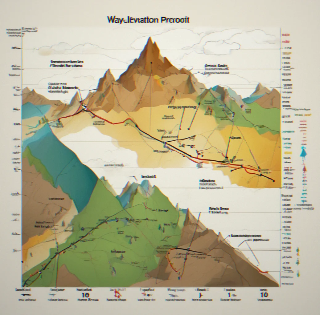
Elevation profiles for pacing
When you see 8,200 feet of gain graphed across four days, it tells a different story than the raw number. Day two feels heavy at just over 3,000 feet? Maybe you shift a camp and reorganize. Stonepilot shows cumulative gain and loss so you can actually balance things instead of just hoping it works out.
Route planning that respects your judgment
Stonepilot won't generate a route for you or second-guess your decisions. You bring in your track, you place waypoints, you decide if conditions fit your plan. The app backs up your thinking. It doesn't replace it. When navigation decisions matter this much, that's the only approach that makes sense.
Navigation System
Why Stonepilot isn't just another map app
Your navigation app either tells you what to do or helps you think it through. Stonepilot's the second one. You drop waypoints at the spots where decisions actually happen—trail splits, passes, water, escape routes. Each one stores elevation, which way the slope faces, notes you wrote about what the ground looks like. Three days in, exhausted and running on fumes, you don't make a new decision. You're just confirming what you worked out at home when you had a clear head.
Mountains kill cell service. Not sometimes. All the time, right when you need it most. Stonepilot downloads everything before you go: topographic maps at 1:24k, satellite photos, your route, waypoints, notes. Everything. Offline. Done.
Routing algorithms work fine on roads and established trails where the path is obvious and the options are limited. Alpine terrain doesn't work that way. A route might be a ridge, a boulder field, a line of cairns marking the only safe passage through rock. Stonepilot doesn't try to be smart. You bring the skill. The app brings the data.
Offline topographic maps
USGS 1:24k and 1:100k layers load before you lose signal. They render clean and fast. No connection needed once they're on your device.
Decision-point waypoints
Mark junctions, passes, water, bailout routes. Write notes about terrain, exposure, what to look for when you're standing there.
Elevation profiles
See total gain and loss for the whole trip. Move waypoints around to spread the climbing across your days instead of guessing.
Weather-aware planning
Link waypoints to NOAA stations. Forecasts get adjusted for elevation so a 48-degree prediction actually makes sense at altitude.
Your judgment, supported
Stonepilot doesn't draw routes for you or second-guess your choices. You plan, you decide, the app shows you what you need to see. In the backcountry, that matters.
Route Planning
Decision fatigue compounds over three days
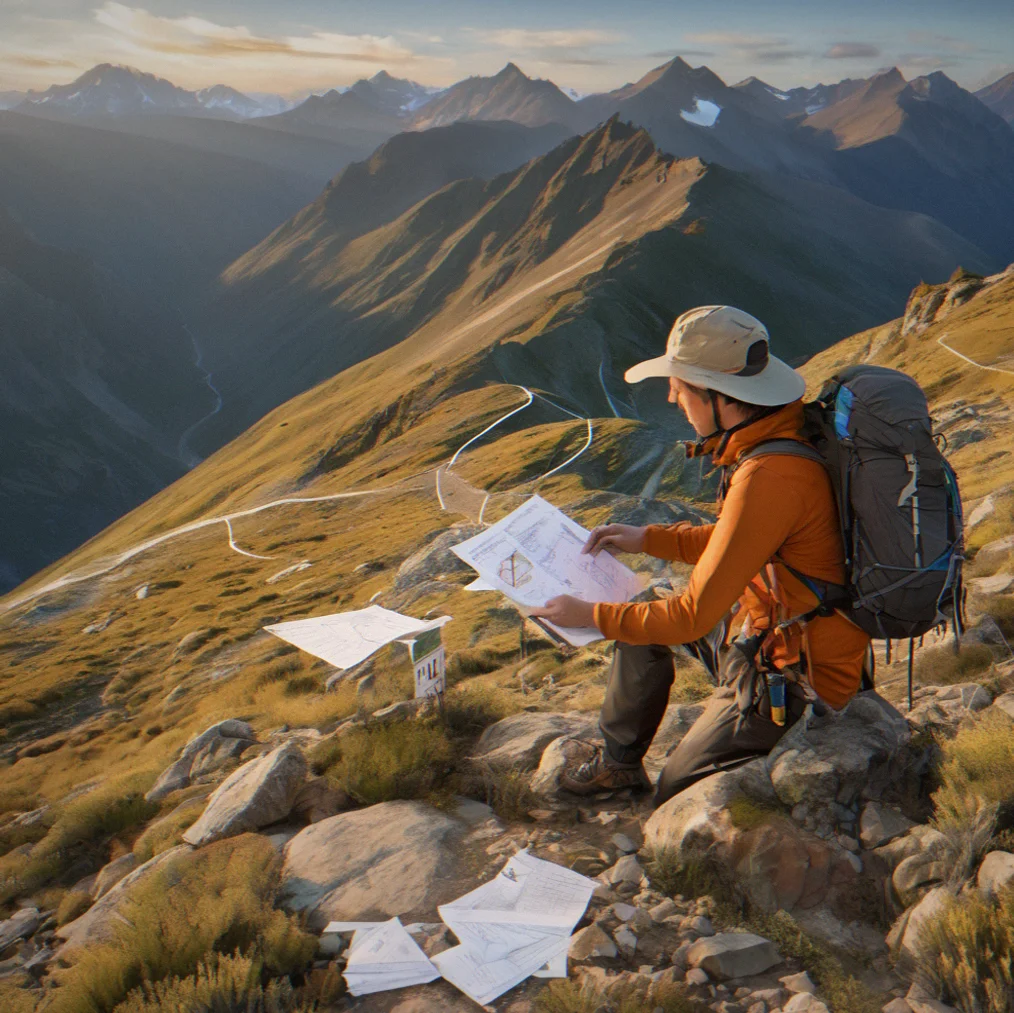
Just over 8,000 feet of elevation gain across 14 miles a day, with three passes cresting above 12,000 feet. By the second hour of day three, your brain's depleted. That trail junction you mapped out at home — northeast bearing, maybe 300 feet up to the saddle — stops being straightforward when hunger and exhaustion set in and the actual terrain doesn't quite match the picture you had in your head. Stonepilot closes that gap. You've made the call already. Now you're just checking yourself.
It works because waypoints aren't just dots on a map. They hold real information: elevation, the direction you're facing, whether you can trust the water this late in summer, what you'll actually see when you get there. You write all that down weeks ahead, when you're reading topo maps with a clear head. Come day three, when thinking gets hard, you're not making new choices — you're reading notes from a version of yourself that could actually think straight.
The other way is to figure it out as you go: pull out your phone at every junction, compare options, spend mental energy on decisions you could've sorted out at home. That's fine on a short hike or a trail that's hard to lose. Alpine terrain? Different story. The next junction is miles away and one wrong turn starts a chain reaction.
What Stonepilot gives you
Offline maps that stay sharp
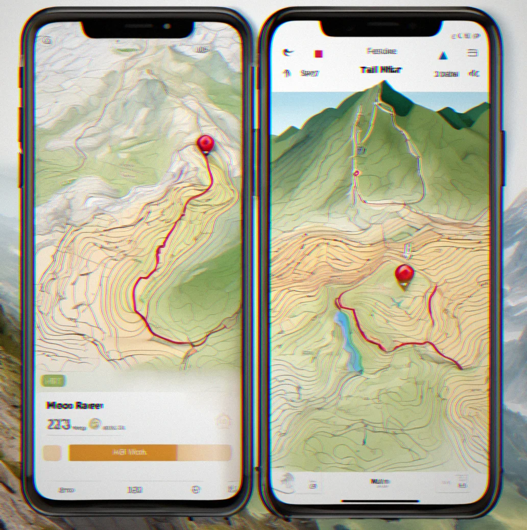
Download USGS topographic maps before you lose signal. Get 1:24k resolution for detail or 1:250k to see the bigger picture. No lag, no streaming, and nothing surprising when you're above treeline and your phone is the only map you have.
Waypoints built for thinking
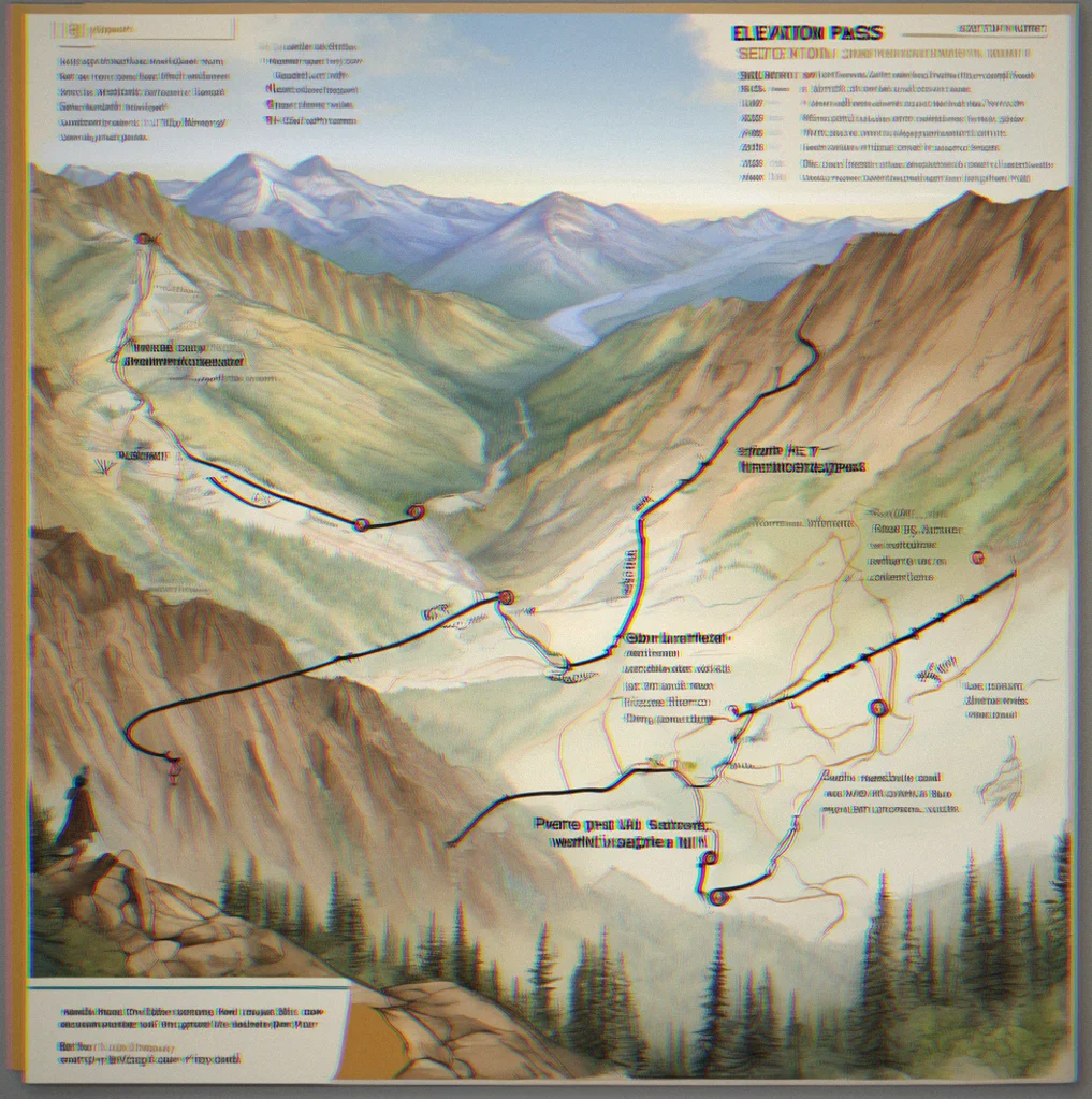
Mark decision points weeks ahead. Jot down elevation, aspect, water sources, exposure. By the time you're exhausted and hungry at that junction on day three, you're not deciding anything — you're just following through on what your clearer self already figured out.
Weather stations, not notifications
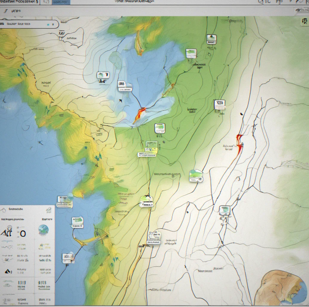
Link waypoints to NOAA data and elevation-corrected networks. Check forecasts at the trailhead to adjust timing and route before you start. This is actual planning information, not push alerts bothering you once you're already out there.
Elevation profiles for real pacing
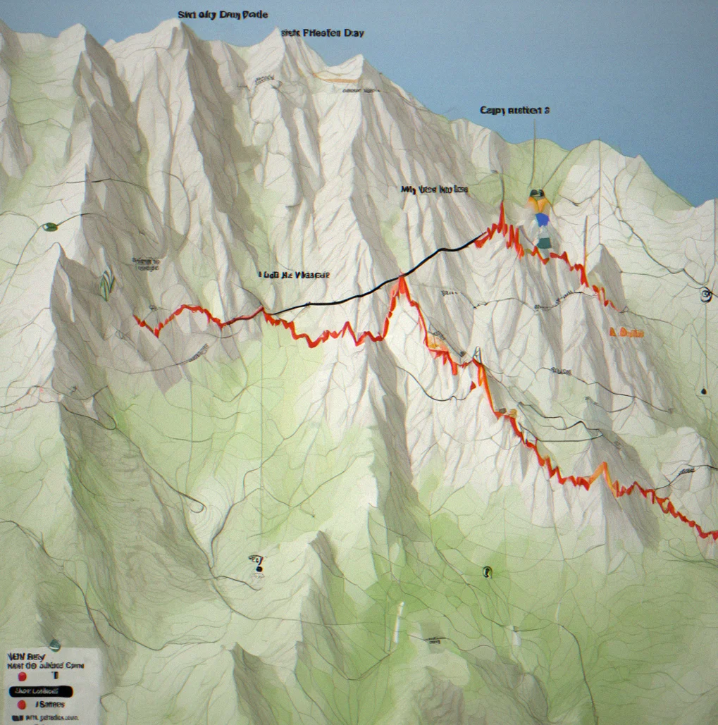
Three days with 8,200 feet of gain. You can see where the actual work happens. Shift your waypoints and camps around so day two doesn't destroy you and day three isn't a walk — balance is everything in mountains.
No algorithm routing
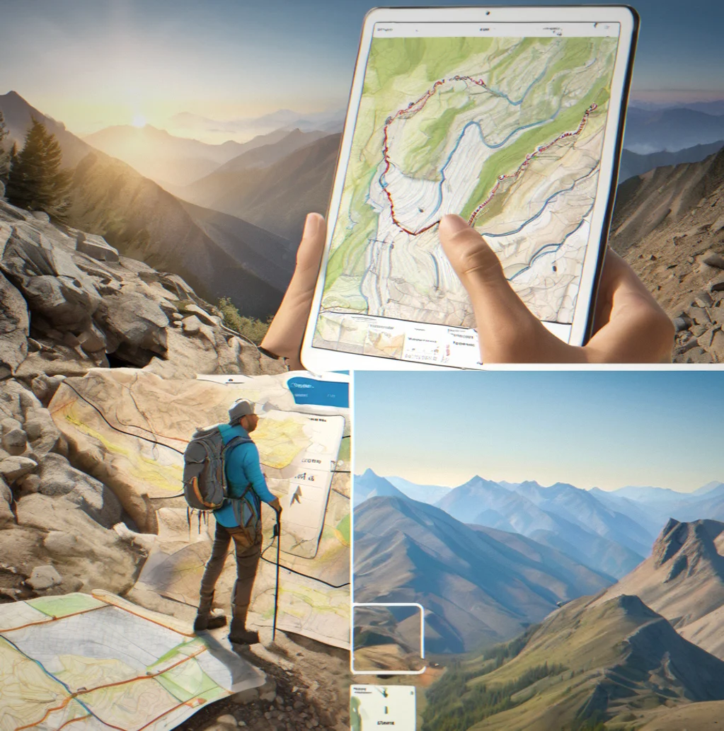
Stonepilot won't generate paths for you or second-guess your judgment. You plan the route, set waypoints, make the decisions. The app clarifies what you're looking at — it doesn't tell you where to go.
Works completely offline
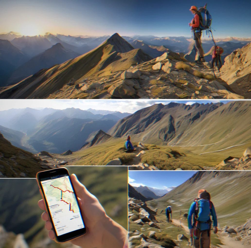
Everything syncs before you leave. Maps, waypoints, elevation data, all your notes. Once you're gone, you don't need a connection.
Edit and adjust on the move
Plans fall apart. Weather changes faster than any forecast. A creek washes out. You can edit waypoints and routes right there in the field — you're not locked into something rigid, you're working with a framework you already understand and know how to change.
Common concerns about Stonepilot
Stonepilot workx differently from other trail apps. These answers cover what most people want to know before they commit to it.
Yes. Cell coverage in the mountains is spotty at best. Canyons block it, dense trees block it, weird magnetic stuff blocks it, elevation blocks it. If you're relying on live maps, you'll lose navigation the moment you need it. Downloading first takes that risk off the table.
No. You build or import the track yourself. Stonepilot shows the terrain and lets you set waypoints. The routing decision is on you — that's the design. Want algorithm-made routes? AllTrails and Gaia do that.
You can still take a wrong turn. Waypoints cut down on confusion and help you think clearly, but they don't stop mistakes. You still need to read the ground, check your compass, and trust what you see. Stonepilot backs up your judgment. It doesn't make decisions for you.
A typical multi-day trip with USGS 1:24k and 1:100k maps takes up roughly 200 to 500 MB. Most phones have plenty more than that. Tight on space? Download only the zoom levels you'll use — skip 1:250k if you're doing alpine terrain at 1:24k.
Up to you. A lot of people run Stonepilot as their main system and keep a paper topo in their pack. Others skip it if they trust their route planning and waypoints. Paper won't fail. It's backup, not mandatory.
Standard lets you export as GPX and send it by email or cloud storage. Pro gives you direct app sharing with live sync when someone edits. Both work. One's just cleaner.
GPS drifts. It's physics. Stonepilot's waypoint system handles that — you're not staring at a line, you're moving toward waypoints and checking terrain. Drift becomes an annoyance, not a failure.
Probably. Built for multi-day trips where planning and offline access matter. For a marked day hike in good conditions, AllTrails or paper is faster.